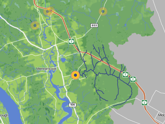
Breau Creek is located in the center of the Memramcook watershed and covers an area of 60 km2. The mouth of Breau Creek empties into the Memramcook River where it experiences tidal fluctuations.
The upper reaches flow through rural areas and marshland. Middle reaches of Breau Creek flow through uninhabited woodlands, however, human activity is still observed in these areas as seen with the quarry.
Due to the tidal influence present at the mouth of Breau Creek the sediment composition is markedly different from upper reaches. The tidal areas have higher levels of silt and mud compared to upper reaches that have sand and gravel beds. These upper reaches provide a more suitable habitat for fish and invertebrate species.

